Geo-Hub — Rwanda's Satellite-and-AI Platform for National Crop Monitoring
Rwanda
Rwanda launched Geo-Hub, a machine-learning platform combining satellite imagery and field data to map crop area and climate stress, piloted …
New Caledonia · Nouméa · See the New Caledonia profile · See the Nouméa profile
Evidence: Descriptive / self-reported Top 22% 73/100 · Ask Evidence Copilot about this practice
The Pacific Community's Digital Earth Pacific, built on Microsoft's Planetary Computer, applies AI to satellite imagery to track coastline erosion, mangrove loss and surface water for every Pacific island member state and territory, free and open, since its October 2023 launch.
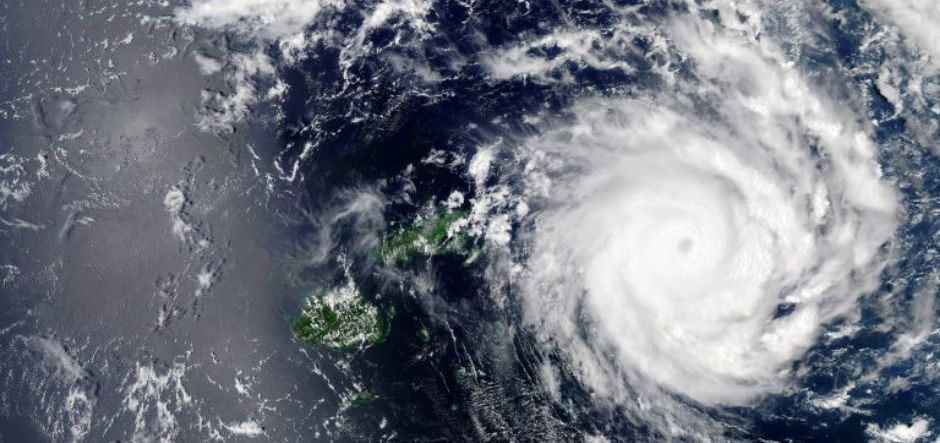
The Pacific Community (SPC), the region's main intergovernmental scientific and technical organisation, launched Digital Earth Pacific in October 2023 at its 53rd Committee of Representatives of Governments and Administrations meeting in Nouméa, New Caledonia, applying AI and cloud computing built on Microsoft's Planetary Computer and Azure Machine Learning to freely available satellite imagery.
The platform generates standardised environmental products, covering coastline change, mangrove extent and surface water resources, identically for every one of SPC's Pacific member countries and territories, with Director-General Stuart Minchin describing it as intended to become an operational public good that regularly generates products whenever a satellite flies over.
Funding and technical partners publicly credited include the governments of New Zealand and the United Kingdom, the US National Oceanic and Atmospheric Administration, the Patrick J. McGovern Foundation, and Microsoft, covering an area SPC describes as more than 150 million square kilometres and roughly 12.7 million people across 27 countries and territories.
The initiative directly targets the region's disaster exposure: Pacific island nations face average annual disaster losses estimated at USD 1.07 billion, with single events such as Cyclone Pam (Vanuatu, 2015, USD 449.4 million) and Cyclone Winston (Fiji, 2016, USD 600 million) illustrating the stakes.
As of the most recent independent reporting in 2024, SPC officials described the platform as still working toward full operational status, and no third-party accuracy or outcome evaluation of the AI-generated products has yet been published.
Philanthropic / foundation funding
Indicative funding routes for practices of this type — always check each programme's current calls and eligibility rules.
Do you run this practice? Claim it — verified implementers get a public contact pathway and can propose corrections.
Where this practice's information was retrieved from, and when.
Rwanda
Rwanda launched Geo-Hub, a machine-learning platform combining satellite imagery and field data to map crop area and climate stress, piloted …
Türkiye
After the February 2023 earthquake, a 5-person WFP/Google Research team used the open-source SKAI tool to assess ~600,000 buildings across …
Slovenia
Slovenia's agricultural payments agency checks EU farm-subsidy compliance for over a million parcels every two weeks using Sentinel-2 satellite time …
Colombia
UNOSAT and Google Research's DISHA workflow uses AI to speed disaster damage assessment, cutting analysis time 6-fold across 9 emergencies. …
Open full copilot Grounded in cited practices — always check the sources.