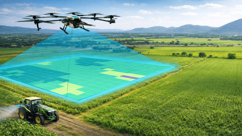
India's SVAMITVA scheme uses drones, CORS and GIS to survey rural land for the first time. By early 2026, surveys covered over 3.29 lakh villages (~68,122 km²) and roughly 3 crore property cards were issued, though no study measures effects on disputes or credit access.
3.29 lakh+ villages
Villages surveyed by drone (by March 2026)
68,122 km²
Area surveyed (by March 2026)
2.65-3.10 crore property cards
Property cards distributed (by 2025-26)
65 lakh+ property cards
Property cards distributed in single event (18 January 2025)
50,000+ villages
Villages covered in single event (18 January 2025)
6 states/union territories
States/UTs with full saturation
903 sites
CORS sites integrated into central control network
1,018 sites
Total CORS network sites
120 metres
Drone flight altitude
31 states/union territories
States and union territories covered
Details
Maturity
Scaling
Promoter
Ministry of Panchayati Raj, Government of India, with the Survey of India and state revenue departments
Period
2020–2026
Keywords
land administration, cadastre, rural development, property rights
Context
SVAMITVA (Survey of Villages and Mapping with Improvised Technology in Village Areas) is a scheme of India's Ministry of Panchayati Raj, launched on 24 April 2020 to create the country's first accurate, geo-referenced property records for rural households.
Objectives
To replace older chain surveys with drone-based, centimetre-scale mapping that produces legally auditable rural land-parcel records and issues formal property titles to rural households.
Activities
Drones fly at 120 metres over village habitation areas to capture imagery, combined with data from a 1,018-site Continuously Operating Reference Station (CORS) geodetic network (903 sites integrated so far) and processed by the Survey of India and Esri India's ArcGIS Parcel Fabric into digital land parcels; states joined through individual memoranda of understanding between 2019 and 2022, eventually covering all 31 states and union territories, with property cards delivered digitally via DigiLocker.
Results
By March 2026, drone surveys had covered over 3.29 lakh villages (about 68,122 square kilometres) and between 2.65 and 3.10 crore property cards had been issued; a single event in January 2025 distributed more than 65 lakh cards across over 50,000 villages in ten states and two union territories, and six states and union territories have reached full saturation. The scheme received the Indian School of Business's Best Innovation Award in 2024.
Conclusions
SVAMITVA has achieved wide administrative rollout and digital delivery of rural property records, but no independent evaluation has yet measured whether the formal titles reduce land disputes or improve households' access to credit.
Implementation
Indicative cost
High (€500k–€5M)
Time to results
Long (> 3 years)
Staffing & skills
Ministry of Panchayati Raj programme management, Survey of India survey and geodetic teams, State revenue departments, Esri India as GIS technology partner
Conditions for success
A CORS geodetic reference network providing positional accuracy
A GIS partner (Esri India ArcGIS Parcel Fabric) to convert drone imagery into legally auditable parcels
State-level memoranda of understanding enabling each state/union territory to join
Digital delivery of property cards via DigiLocker
Common failure modes
Downstream benefits such as reduced land disputes or improved credit access remain unverified in the absence of an independent evaluation
The underlying GIS/mapping processing pipeline has not been independently audited
Where it fits
Governance type
national government
Scale
national
Income level
lower-middle-income
Commonly funded by
National / regional programmes
Indicative funding routes for practices of this type — always check each programme's current calls and eligibility rules.
Do you run this practice?
Claim it —
verified implementers get a public contact pathway and can propose corrections.
Data sources
Where this practice's information was retrieved from, and when.
Moscow's public health department centrally benchmarks and deploys a marketplace of 50+ vetted computer-vision diagnostic tools as a mandatory "second …