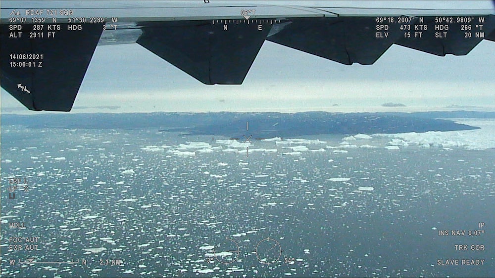
DMI's ASIP uses a convolutional neural network fusing Sentinel-1 radar and AMSR2 microwave data to generate Greenland coastal sea-ice charts, more than quadrupling output and improving accuracy, now distributed via Copernicus Marine Service.
4x+
Increase in ice-chart issuance frequency vs manual charting
6.5 million DKK
Innovation Fund Denmark grant
Details
Maturity
Established
Promoter
Danish Meteorological Institute (DMI), with Technical University of Denmark and Harnvig Arctic & Maritime
Period
2019-2024
Keywords
Arctic maritime safety, sea-ice charting, satellite earth observation, decision support
Context
The Danish Meteorological Institute, the state agency charting sea ice in Greenlandic waters, previously relied on analysts manually interpreting satellite imagery, limiting coverage frequency and detail.
Activities
With the Technical University of Denmark and Harnvig Arctic & Maritime, and a roughly 6.5 million DKK grant from Innovation Fund Denmark, DMI developed ASIP: a convolutional neural network trained on the AI4Arctic/ASID-v2 dataset fusing Sentinel-1 SAR imagery with AMSR2 passive-microwave data to classify sea-ice concentration and type.
Results
DMI states the automated approach lets it more than quadruple the number of ice charts issued versus manual charting; a 2023 peer-reviewed study found ASIP reduced integrated ice-edge error compared with other automated products, particularly during summer melt.
Conclusions
The product is now distributed operationally through the Copernicus Marine Service catalogue.
Bangladesh's a2i, GiveDirectly, UNDP and UC Berkeley piloted ML poverty-targeting from call-detail records across 106,200 Cox's Bazar households, but a …