GeoCitizen — Participatory GIS Land-Use Planning for Quito's Ilaló Mountain
Ecuador
Quito's planning authority and an Austrian/Ecuadorian/CIAT research team used the GeoCitizen participatory-GIS platform to run a 2013 land-zoning process on …
Ghana · Accra · See the Ghana profile · See the Accra profile
Evidence: Observational / pre–post Top 96% 38/100 · Ask Evidence Copilot about this practice
Ghana's 2017 national digital-addressing system assigns a unique code to every 5m² of the country. Independent fieldwork cited by TechLabari found uneven adoption — 68% of owners vs 32% of renters in the Accra suburbs studied — and a non-functional emergency-service integration.
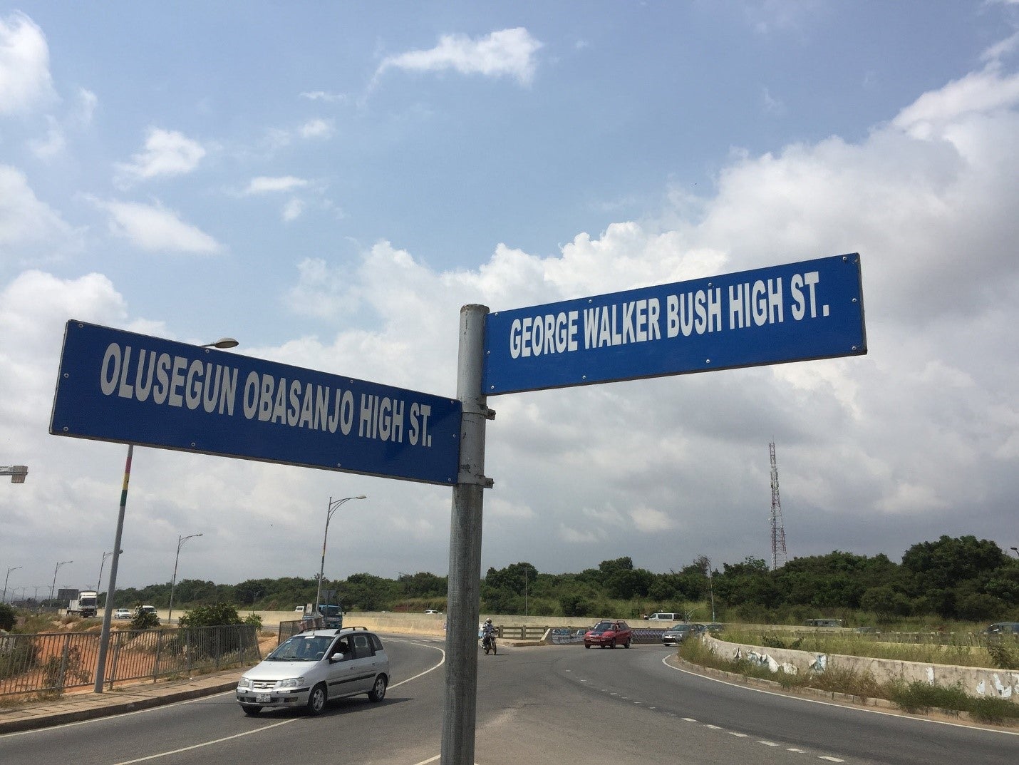
GhanaPostGPS is Ghana's official national digital property-addressing system, launched 18 October 2017 by President Nana Akufo-Addo and developed by Vokacom under government sponsorship, assigning a unique digital address and postal code to every 5-square-metre location in the country.
To formalise property records, widen the tax base and make services such as deliveries and emergency response possible in a country that previously had no comprehensive street-addressing system.
Use of the app is mandatory for obtaining Ghana's national ID card (Ghana Card) and for accessing other government services.
TechLabari, citing University of Arizona fieldwork, found the research team 'found it difficult to confidently showcase any immediate successes'; adoption was driven mainly by the mandatory Ghana Card requirement; in the suburban Accra communities studied, 68% of property owners had used the system against only 32% of renters. Official reporting has cited hundreds of thousands of registered addresses and millions of location searches since launch.
The initial version required an active internet connection, leaving it non-functional in many rural and peri-urban areas where addressing problems were most acute; it produced unstable, non-sequential codes for buildings on the same street; integration with mainstream navigation apps was poor; and a planned Ghana Ambulance Service panic-button integration was confirmed non-functional at the time of the research team's interview. Reported cost (~$2.5 million) is contrasted with a civil-society estimate of ~$150,000 for a comparable system, and Brickstone Africa (2024) attributes inconsistent political will to related digital-addressing efforts being abandoned or neglected.
National / regional programmes
Indicative funding routes for practices of this type — always check each programme's current calls and eligibility rules.
Do you run this practice? Claim it — verified implementers get a public contact pathway and can propose corrections.
Where this practice's information was retrieved from, and when.
Ecuador
Quito's planning authority and an Austrian/Ecuadorian/CIAT research team used the GeoCitizen participatory-GIS platform to run a 2013 land-zoning process on …
Peru
Since 2010, Lima Cómo Vamos has surveyed ~2,000 residents of Metropolitan Lima annually on urban quality of life. A 2022 …
Tanzania
Dar es Salaam's Ramani Huria trained 450 community members and students to map flood-prone informal settlements with OpenStreetMap and drones. …
Indonesia
Born as a 2013 University of Wollongong pilot, PetaBencana.id turns citizens' flood reports into a government-validated hazard map — consulted …
Open full copilot Grounded in cited practices — always check the sources.