SKAI — WFP and Google Research's Open-Source AI for Rapid Earthquake Damage Mapping in Türkiye
Türkiye
After the February 2023 earthquake, a 5-person WFP/Google Research team used the open-source SKAI tool to assess ~600,000 buildings across …
Venezuela · Caracas · See the Venezuela profile · See the Caracas profile
Evidence: Descriptive / self-reported Top 89% 33/100 · Ask Evidence Copilot about this practice
After the June 24, 2026 earthquakes struck La Guaira, Venezuela's science ministry built an AI tool combining multimodal models with before/after satellite and drone imagery to auto-classify damage; ABAE processed 1,400+ images into 100+ mapping products for emergency responders.
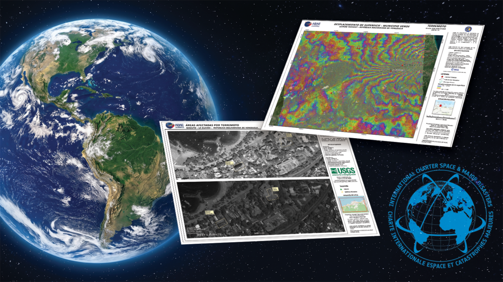
After the 24 June 2026 La Guaira earthquakes, Venezuela's Mincyt and space agency ABAE built an AI tool fusing multimodal models with before/after satellite and drone imagery to auto-classify structural damage.
ABAE processed 1,400+ satellite images into 100+ mapping products delivered to Civil Protection, the armed forces and a presidential commission; figures are self-reported, with no independent audit of classification accuracy and unclear differentiation from parallel NASA/Microsoft/EU efforts using the same feeds.
National / regional programmes
Indicative funding routes for practices of this type — always check each programme's current calls and eligibility rules.
Do you run this practice? Claim it — verified implementers get a public contact pathway and can propose corrections.
Where this practice's information was retrieved from, and when.
Türkiye
After the February 2023 earthquake, a 5-person WFP/Google Research team used the open-source SKAI tool to assess ~600,000 buildings across …
Türkiye
Within three days of the 2023 Kahramanmaraş earthquakes, Microsoft's AI for Good Lab used deep learning on satellite imagery to …
Colombia
UNOSAT and Google Research's DISHA workflow uses AI to speed disaster damage assessment, cutting analysis time 6-fold across 9 emergencies. …
Greece
Greece's Ministry of Digital Governance contracted OroraTech, with ESA and EU funding, to build a four-satellite constellation giving hourly thermal …
Open full copilot Grounded in cited practices — always check the sources.