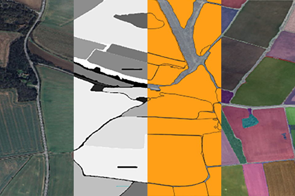
The Rural Payments Agency (RPA) administers England's post-CAP environmental land management schemes — the Sustainable Farming Incentive (SFI) and Countryside Stewardship (CS) — which pay farmers for maintaining habitats, hedgerows, soil health and reduced erosion risk.
Since a September 2023 multi-year contract with Earth-i, using Planet Labs' Dove satellite constellation, RPA receives a 100%-cloud-free PlanetScope imagery composite covering the whole agricultural area of England on a near-daily basis, combined with LiDAR height data to track long-lived features such as hedges and trees. This enables remote, national-scale, year-round checks on land cover, vegetation condition and soil-erosion risk.
When remote monitoring flags a possible discrepancy, RPA asks the farmer for supporting evidence (photographs, cropping or spray records, invoices); unresolved cases lead to an adjusted agreement and payment, and field officers still carry out site visits for complex or contested cases.
RPA's own account and independent trade press describe the 2023 launch and mechanism in detail, but neither publishes external audit figures on error rates, appeal outcomes, or the resulting change in habitat and soil-erosion outcomes — so the monitoring system's reach is well evidenced while its downstream environmental impact is not yet independently quantified.
Read the full analysis: https://ruralpayments.blog.gov.uk/2025/11/28/how-rpa-uses-remote-monitoring-technology-to-monitor-environmental-land-management-agreements/
Where this practice's information was retrieved from, and when.