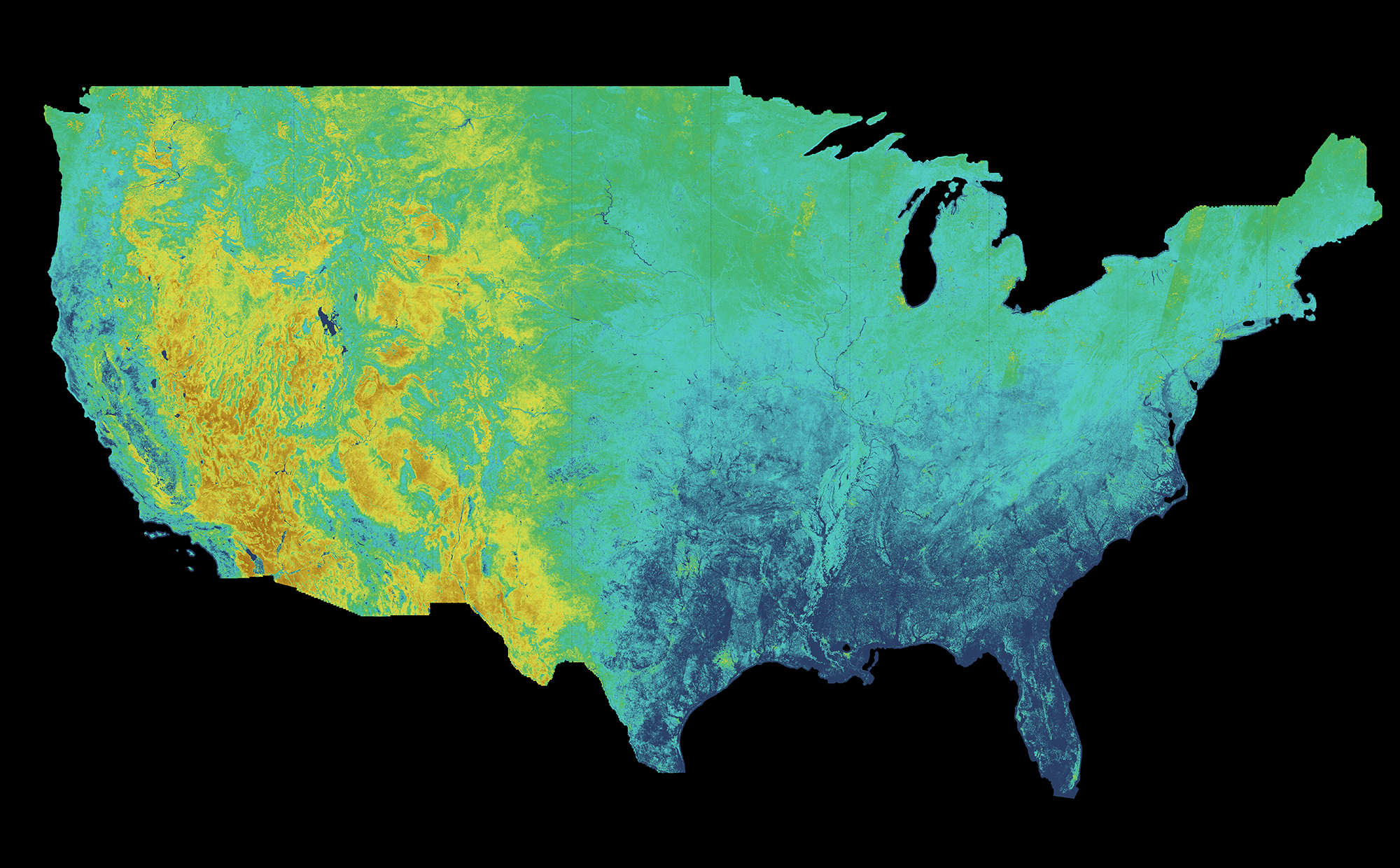
OpenET is a public-private consortium — NASA, the U.S. Geological Survey, the Environmental Defense Fund, the Desert Research Institute, California State University Monterey Bay, Google Earth Engine and HabitatSeven — that combines Landsat and ECOSTRESS satellite imagery with six independent evapotranspiration models to estimate how much water each individual field actually consumes, at a resolution as fine as a quarter of an acre, with data available back to 2016.
Since March 2023, the Central and South Delta Water Agencies in California have used OpenET data under a state-approved "Delta Alternative Compliance Plan" to satisfy water-use reporting requirements under California's Sustainable Groundwater Management Act, letting farmers report consumption from satellite records instead of installing and reading physical meters across the hydrologically complex Sacramento–San Joaquin Delta. Water agencies in California and Nebraska now also use OpenET inside an open-source groundwater accounting platform to help farmers track water budgets against sustainability limits, with pilots under way in Oregon and Kansas.
Growers report concrete efficiency gains from the same data: California grape growers cite water savings of up to 25% from irrigation scheduling informed by OpenET, and one economic analysis projects roughly $127.5 million in savings for California almond growers over five years. By December 2025 the platform had expanded from its original 17 western states to all 48 contiguous US states, passed 13,000 registered users, and announced a planned expansion into Brazil's Amazon basin.
The tool measures and reports water consumption; it does not by itself guarantee reduced groundwater withdrawal, since compliance still depends on regulators setting and enforcing sustainable pumping limits once better data exists. Independent, field-level accuracy validation for the newly added eastern US states was still pending as of the December 2025 expansion.
Read the full analysis: https://etdata.org/openet-expands-satellite-based-water-use-data-48-states-farmers-water-managers-across-nation/
Where this practice's information was retrieved from, and when.