Guyana's MRVS: Satellite-Verified Forest Payments, Then a Contested Carbon-Credit Sequel
Guyana
Guyana's Forestry Commission built a national satellite MRV system that verified a 0.068% deforestation rate, earning $190M from Norway (2009-2015). …
Romania · Bucharest · See the Romania profile · See the Bucharest profile
Evidence: Observational / pre–post Top 96% 20/100 · Ask Evidence Copilot about this practice
Romania's SUMAL 2.0 timber-tracking system, launched January 2021, layers Sentinel and Landsat satellite imagery, radar and GPS over every logging and transport permit. In six months it logged 2.2M transport authorisations and cut daily illegal shipments from ~2.5 to under 1.
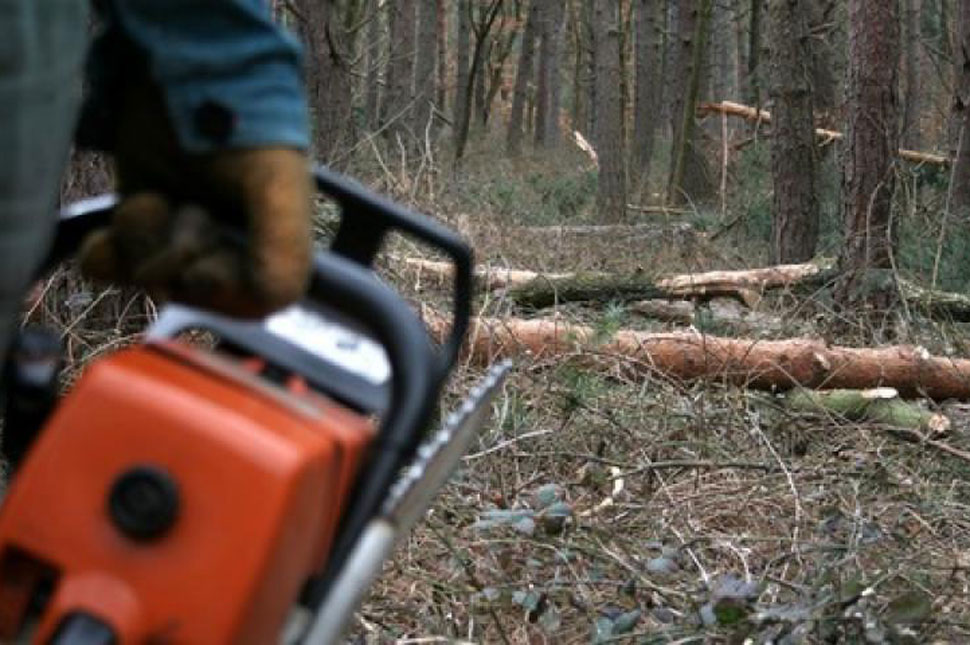
Since the 1990s Romania has struggled with large-scale illegal logging -- European Parliament briefings cited tens of thousands of illegal-logging cases and over EUR50 million in annual state losses in the early 2010s -- prompting the Ministry of Environment, Waters and Forests to build a national digital wood-tracking system, SUMAL, and its citizen-facing 'Inspectorul Padurii' app (first launched July 2016).
The upgraded SUMAL 2.0, launched 31 January 2021, ingests radar and satellite imagery from Sentinel-1/2 and Landsat plus mapping data, refreshed every two to seven days, to assign a trackable ID to every harvesting operation from stump to sawmill. Romania backed the rollout with EUR46 million from its EU Recovery and Resilience Facility allocation for environmental digitalisation and satellite monitoring.
In its first six months the system logged more than 64,000 registered users and issued 2.2 million transport authorisations covering roughly 21 million cubic metres of timber. The Ministry reported illegal timber shipments falling from about 2.5 to under 1 per day against roughly 15,000 total daily shipments, while the citizen-reporting app grew to 858,000 users and logged over 3,400 reports leading to 754 inspections and 123 confirmed illegal-cargo cases.
Romanian forest-monitoring civil-society groups have publicly alleged that the Ministry later restricted or degraded public-facing features of the Inspectorul Padurii app -- a reminder that technical capability does not guarantee sustained openness to public scrutiny.
Recovery and Resilience Facility (national plans) National / regional programmes
Indicative funding routes for practices of this type — always check each programme's current calls and eligibility rules.
Do you run this practice? Claim it — verified implementers get a public contact pathway and can propose corrections.
Where this practice's information was retrieved from, and when.
Guyana
Guyana's Forestry Commission built a national satellite MRV system that verified a 0.068% deforestation rate, earning $190M from Norway (2009-2015). …
Vietnam
Since 2010, Vietnam's nationwide Payment for Forest Environmental Services has raised ~VND 10,000bn (2008-2018), mostly from hydropower. Lam Dong piloted …
Colombia
Since 2012 Colombia's IDEAM has run SMByC, a satellite-based forest and carbon monitoring system using Landsat, Sentinel-2 and other imagery …
Papua New Guinea
Papua New Guinea combines satellite imagery, radar and FAO's Open Foris GIS tools in a national forest monitoring system spanning …
Open full copilot Grounded in cited practices — always check the sources.